
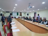
Learning from the challenges of 2015 Nepal Earthquake where geo-spatial data was at a premium, Kathmandu Living Labs implemented a project that created a robust geo-spatial database for the entire Pokhara Lekhnath Metropolitan City. The ownership of this dataset was passed to the local government. The project opened the door for open mapping to be adopted by the government, engaged local citizens to map their neighbourhoods and encouraged local government to make use of spatial data.
Country: Nepal
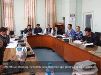
In April 2015, a 7.8 Mg earthquake hit Nepal that affected over 1 million households and 5.08 million people. Disbursement of reconstruction funds called for a massive door-to-door survey in order to identify true beneficiaries. For the first time, Nepal and the Kathmandu Living Labs deployed a team of 3,000 engineers armed with electronic tablets to collect 10 TB data and 10 million photographs from remote parts of Nepal in just over 120 days.